The Pamir Highway – and Beyond
Cycling Pamir Highway has received a lot of attention in recent years and is no longer a secret among cycle tourers. That said, the sheer length of the route spreads riders out considerably. You will meet other cyclists almost every day, but it never feels crowded in the way some European cycling routes do.
More importantly: the Pamir Highway itself is just one option. There are several worthwhile variations and extensions — the Bartang Valley, the Wakhan Corridor, and the Zorkul detour all offer something the main road does not. The route I rode combined several of these, starting in Dushanbe and finishing in Kashgar, China.
Getting There – The Middle Route from Dushanbe
Most riders approach Khorugh via the northern route through Kulob or the southern route along the Panj River. I took a third option — a middle route through Roghun and Khovaling to Tavildara, then down to Khorugh. Almost no documentation exists for this section, which tells you something about how rarely it is ridden.
The terrain is demanding. Long stretches pass through quarry and mining landscapes with no other travellers in sight. The final pass before Tavildara is steep and rocky — not rideable, at least not in the direction I came from.
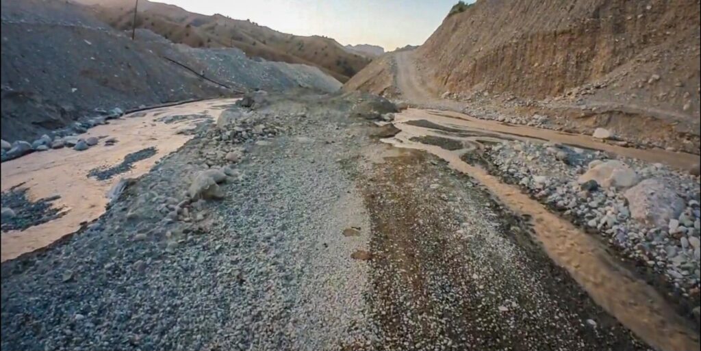
One important note: the Tavildara region has minefields dating from the civil war in the mountains. This sounds alarming but in practice means staying on the road and marked paths — which on a loaded touring bike you would do anyway. Do not venture off into the mountains without local advice.
The reward for this route is complete solitude. No tourists, very little traffic, and a genuine sense of being somewhere most people never go.
Visa and Permits
For EU citizens, Tajikistan is visa-free for up to 30 days. For longer stays, or to avoid the mandatory registration requirement after 10 days, an eVisa is worth getting in advance — it costs $30 for a single entry and covers up to 60 days.
For the Pamir region, a GBAO permit is required in addition to the visa. The easiest way is to add it during the eVisa application for an extra $20. With an eVisa, the GBAO permit covers the full duration of your stay.
I entered visa-free and collected the GBAO permit at the OVIR office in Dushanbe. This worked fine but is worth doing on arrival — do not leave it too late before heading east.
The Panj Gorge – Kalai Khumb to Khorugh
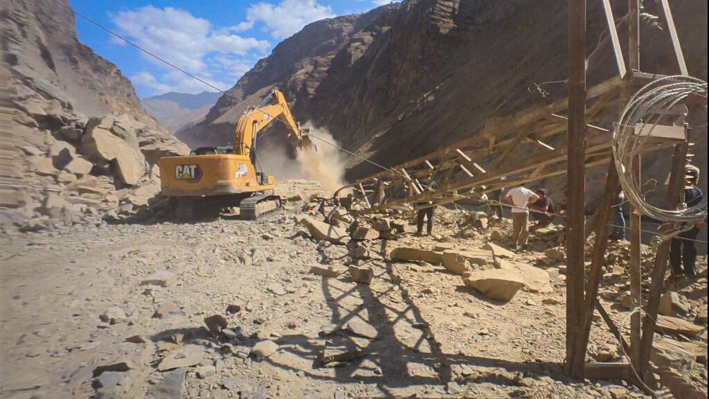
The road between Kalai Khumb and Khorugh runs through the Panj gorge with Afghanistan visible on the other side of the river. This is where landslides are most common on the entire route. The gorge is dramatic but the road can be blocked without warning. Most clearances happen quickly, but building in a day or two of flexibility is sensible on this section.
The Wakhan Corridor
From Khorugh, instead of heading directly onto the Pamir Highway, I turned south into the Wakhan Corridor — a narrow strip running along the Afghan border with the Hindu Kush visible across the Panj River. The Afghan Wakhan is one of the most remote inhabited places on earth, and the views reflect that.
The Wakhan is quieter than the main Pamir Highway but still sees a reasonable number of cycle tourers. The road surface varies — stretches of good gravel alternate with rougher sections. Hospitality from local families is a highlight of this part of the route.
The Zorkul Detour
After the Wakhan climb, I continued to Zorkul — a high-altitude lake on the Afghan border that requires a separate permit beyond the standard GBAO. The permit is easy to obtain in Khorugh and worth the effort.
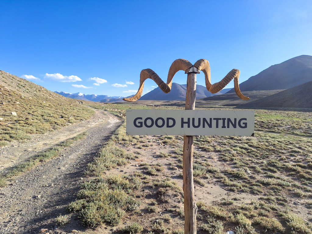
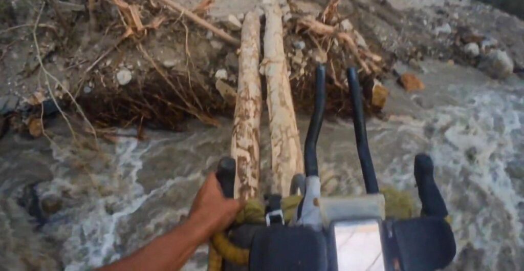
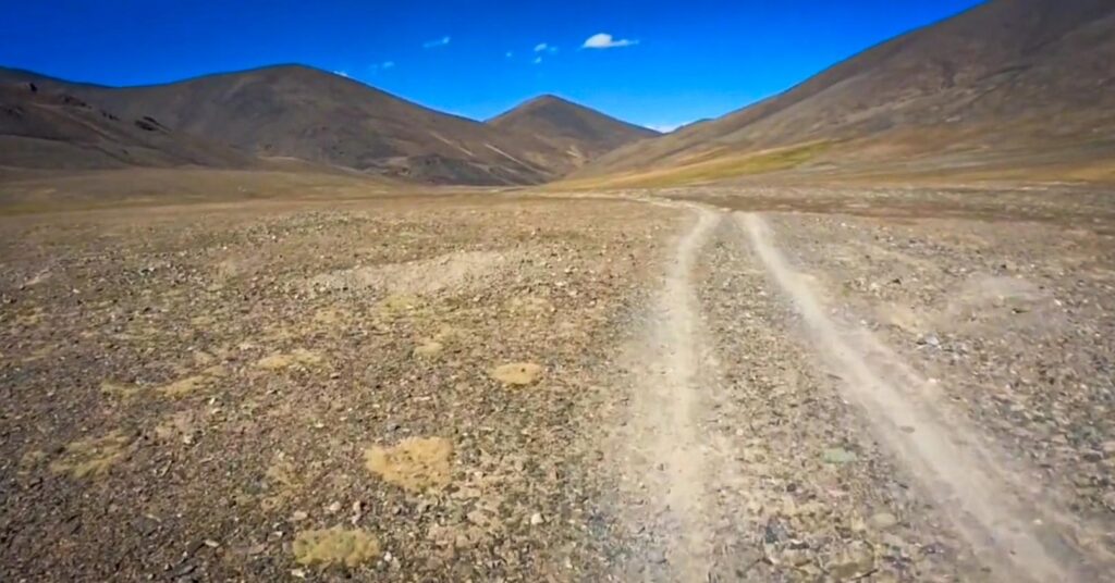
Zorkul is the most remote stretch of the entire route. No other riders, no villages, no infrastructure. The lake sits on a wide open plateau at around 4,300 metres. It is technically more demanding than the main highway — rough track, river crossings, and significant elevation — but for anyone looking for genuine solitude, this is it.
The Main Pamir Highway
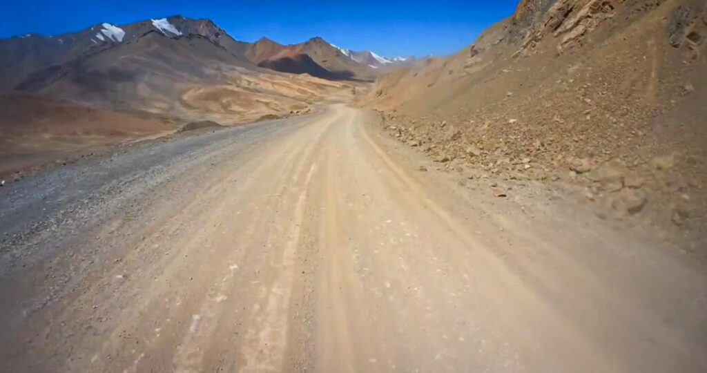
From the Zorkul junction, the route rejoins the standard M41 highway through Murghab toward the Kyrgyz border at Kyzyl Art. The highway alternates between reasonable asphalt and dusty washboard gravel. The high plateau around Murghab is stark and beautiful. Winds can be severe and temperatures drop sharply without sun.
Road Conditions
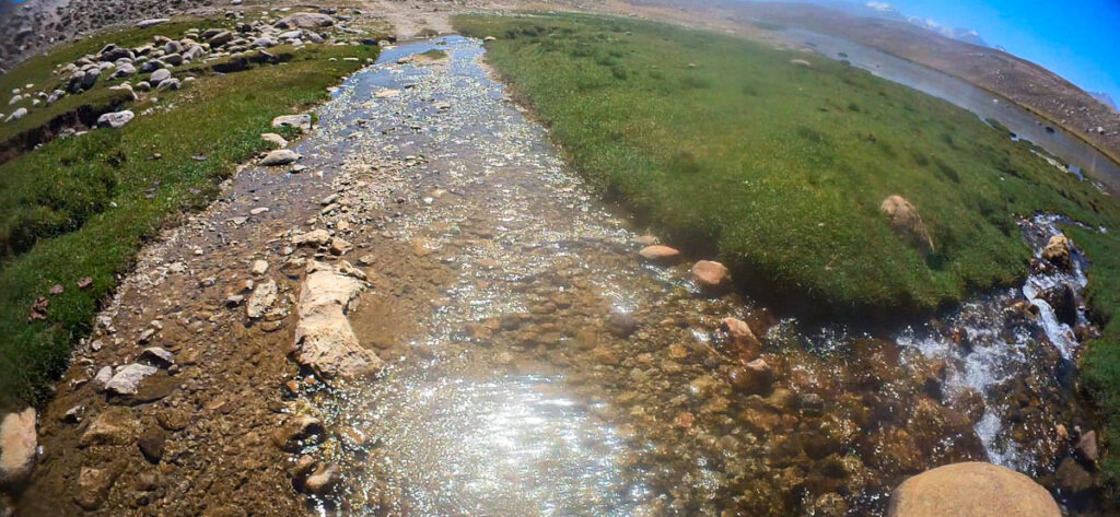
Surface quality ranges from smooth asphalt to rough gravel and washboard. Expect river crossings on the Wakhan and Zorkul sections. On the middle route from Dushanbe, carrying the bike over boulder fields is part of the experience.
When to Go
August is a reliable choice — good weather, snow-free passes, and long days. Without sun it gets cold quickly at altitude, and nights drop close to freezing even in high summer. Earlier in the season risks snow on the high passes; later risks deteriorating weather.
Exiting to China
From Murghab the standard exit is north to Osh in Kyrgyzstan. I crossed into China via the Irkeshtam Pass — one of two crossings between Kyrgyzstan and China, roughly 230 km west of Kashgar. From Kashgar, the natural continuation south is the Karakoram Highway — one of the most spectacular roads in the world. See the full Karakoram Highway guide for what to expect.
Great content! Keep up the good work!